Compare settlement across quays, yards and tanks.
Follow movement across reclaimed ground, pavements and operational assets. Use the history to plan surveys and civil maintenance.
For port authorities, terminal operators, lenders, insurers, engineers, and infrastructure investors.
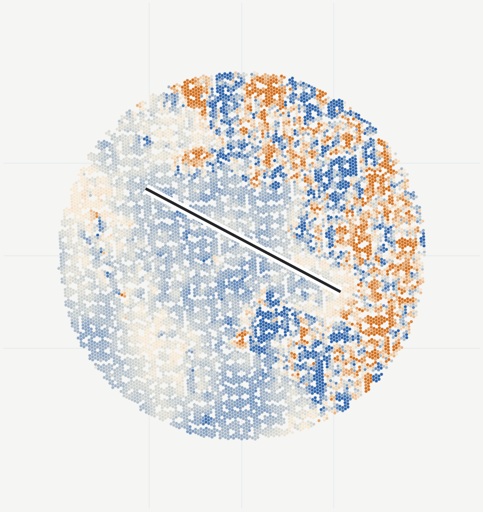
What you receive
Plan port surveys around changing ground movement.
A terminal movement baseline and repeat reviews, grouped by your operational assets.
When it helps
Pavement distress, expansion, refinancing, new cranes or tanks, quay works, drainage issues, or uneven historic survey coverage.
- Settlement history
- Compare long-term settlement and recent changes across reclaimed ground and terminal surfaces.
- Operational asset summaries
- Review quays, yards, tanks, roads and embankments using your asset boundaries.
- Coverage and measurement quality
- See where radar provides a usable history and where a ground survey is needed.
- Maintenance report and maps
- Share a review summary, technical methods and GIS layers with civil and maintenance teams.
Delivery
Start with the site you need to understand.
We run the analysis and review the observations with your team.
Send the site and relevant dates
A site name, map link or boundary is enough to start. Include any asset boundaries and monitoring records you have.
Agree the outputs and cost
We check radar coverage and agree the history, asset groups, reporting schedule and cost.
Review the results together
Review movement histories and locations for follow-up. Choose a one-off study or continue with regular updates.
Questions this review helps answer
Which operational areas show changing movement, and where should surveys or maintenance checks concentrate?
How should we use the measurements?
Use the movement history to plan civil surveys and inspections. Pavement and structural condition still need on-site engineering checks.