Find assets and compare changes across the yard.
Turn aerial or mobile imagery into a searchable record of storage, equipment, access routes and visible site conditions.
For ports, terminals, depots, warehouses, industrial yards, 3PLs, and inspection partners.
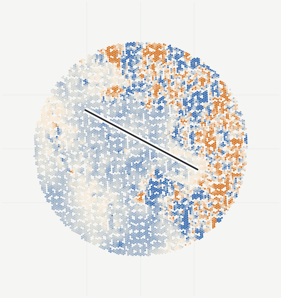
What you receive
Answer what was where without replaying hours of footage.
A one-off or recurring site review with agreed assets, areas and changes to track.
When it helps
A capacity review, incident, reconfiguration, asset count, condition survey, due diligence, or recurring operating snapshot.
- Dated yard map and model
- Review a georeferenced 2D or 3D site view with capture coverage shown.
- Searchable assets and areas
- Find visible equipment, storage zones, access routes and conditions in the source imagery.
- Change between captures
- Compare the current yard layout and visible conditions with the previous capture.
- Operations report and data
- Share a browser review, short report and open exports; scope API access when needed.
Delivery
Start with your site imagery.
We process and review the data for you. You do not need to operate the software.
Share the imagery or capture plan
Tell us what you need to measure, what imagery exists and what survey control is available.
Agree the outputs and cost
We assess the capture, agree accuracy checks, file formats and delivery timing, then quote the work.
Review the results together
Receive the maps, measurements and source images. Repeat captures or delivery under your brand can be included.
Questions this review helps answer
What was where, what condition was visible, what changed, and which source observations support the answer?
What needs an on-site check?
Atlas reports what the capture supports; occluded, indoor, transient, or low-resolution areas remain coverage gaps.