Plan airfield surveys with a wider movement history.
Review ground movement around runways, aprons, terminals and access roads before planning pavement and geotechnical surveys.
For airport operators, airfield engineers, owners, insurers, lenders, and maintenance partners.
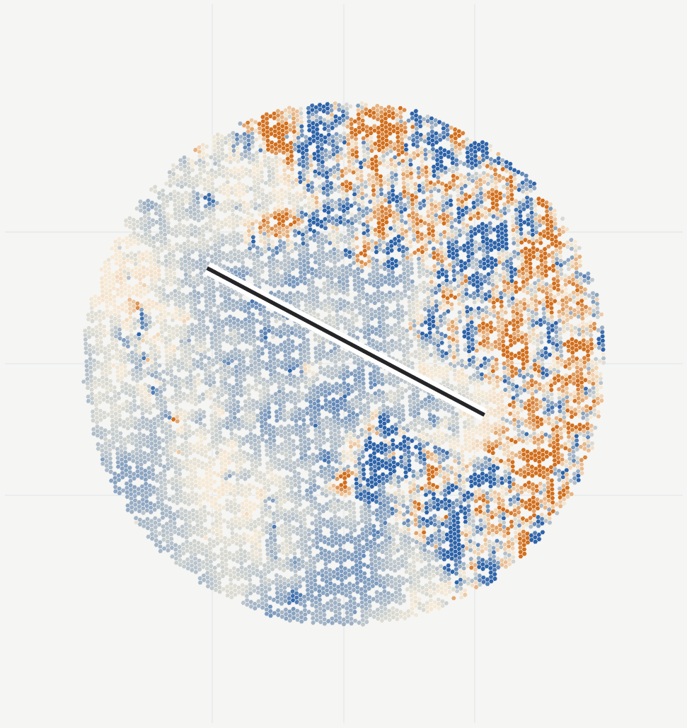
What you receive
Make the most of limited airside survey access.
An airfield movement baseline, grouped by your operating zones and assets.
When it helps
Rehabilitation planning, recurring settlement, new loads, drainage works, insurance or lender review, or a handover milestone.
- Airfield movement history
- Compare long-term and recent movement around runways, taxiways and aprons.
- Zone and asset summaries
- Review movement and changing rates by supplied airside zone or asset.
- Coverage and measurement quality
- Check observation dates, coverage gaps and signal quality before scheduling field checks.
- Inspection report and maps
- Receive a summary, interactive map and GIS layers for maintenance and survey planning.
Delivery
Start with the site you need to understand.
We run the analysis and review the observations with your team.
Send the site and relevant dates
A site name, map link or boundary is enough to start. Include any asset boundaries and monitoring records you have.
Agree the outputs and cost
We check radar coverage and agree the history, asset groups, reporting schedule and cost.
Review the results together
Review movement histories and locations for follow-up. Choose a one-off study or continue with regular updates.
Questions this review helps answer
Which zones show persistent or accelerating movement and deserve survey, pavement, drainage, or geotechnical follow-up?
How should we use the measurements?
Pulse does not replace airfield pavement inspection, survey control, operational safety processes, or engineering certification.