Use movement history to plan your instruments.
Add satellite ground-motion analysis to your monitoring service, under your own brand. Use the history to plan surveys and sensor placement.
For geotechnical consultancies, monitoring firms, survey teams, and instrumentation integrators.
What you receive
Plan field monitoring with a wider view of the site.
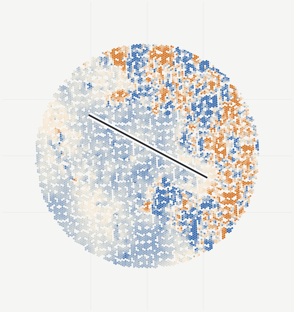
A white-label movement study for one site, with maps, asset histories and a technical review.
When it helps
A live bid, a new monitoring campaign, sparse existing instruments, or a client asking what should be monitored first.
- Movement history
- Review ascending and descending radar observations, with East and Up estimates where viewing geometry supports them.
- Coverage and measurement quality
- See where reliable measurements are available and where field instruments would fill gaps.
- Asset summaries
- Compare movement and changes in rate around the buildings, slopes and structures in your monitoring plan.
- White-label report and data
- Receive a partner-branded PDF, interactive maps, GIS layers and a methods note.
Delivery
Start with the site you need to understand.
We run the analysis and review the observations with your team.
Send the site and relevant dates
A site name, map link or boundary is enough to start. Include any asset boundaries and monitoring records you have.
Agree the outputs and cost
We check radar coverage and agree the history, asset groups, reporting schedule and cost.
Review the results together
Review movement histories and locations for follow-up. Choose a one-off study or continue with regular updates.
Questions this review helps answer
Where should instruments go, and which areas need a closer survey?
How should we use the measurements?
Pulse informs campaign design; the monitoring or geotechnical partner retains responsibility for instrument design and professional conclusions.