See where landfill settlement needs a closer look.
Follow movement across cells, caps, slopes and drainage between surveys. Use the findings to plan aftercare inspections.
For landfill operators, waste groups, environmental consultancies, closure engineers, and remediation owners.
What you receive
Direct inspections to changing cells and slopes.
A movement baseline and follow-up reviews for the cells, caps and assets you supply.
When it helps
Closure planning, cap performance review, recurring settlement, remediation milestones, or an upcoming regulator or owner review.
- Settlement history
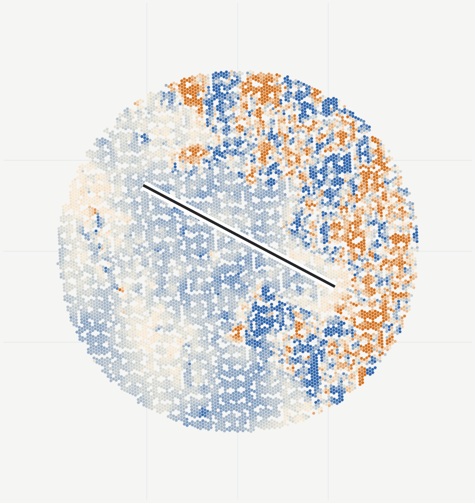
- Map long-term settlement and recent changes in rate across the site.
- Cell and cap summaries
- Compare movement around cells, cap areas, slopes and drainage using your site boundaries.
- Coverage and site context
- Review measurement quality alongside vegetation, water and nearby works.
- Aftercare report and maps
- Use the report, dashboard and GIS layers to plan inspections and compare later surveys.
Delivery
Start with the site you need to understand.
We run the analysis and review the observations with your team.
Send the site and relevant dates
A site name, map link or boundary is enough to start. Include any asset boundaries and monitoring records you have.
Agree the outputs and cost
We check radar coverage and agree the history, asset groups, reporting schedule and cost.
Review the results together
Review movement histories and locations for follow-up. Choose a one-off study or continue with regular updates.
Questions this review helps answer
Which cells, slopes, cap areas, or adjacent assets need field confirmation, maintenance, or recurring monitoring?
How should we use the measurements?
Satellite movement evidence complements, but does not replace, field inspection, gas and leachate systems, survey control, or regulatory sign-off.