Compare cells and caps as work progresses.
Use repeat site captures to measure cells, review cover and drainage, and compare completed work with the design.
For waste operators, landfill managers, environmental consultancies, closure contractors, and regulators’ technical teams.
What you receive
Keep closure work and aftercare easy to compare.
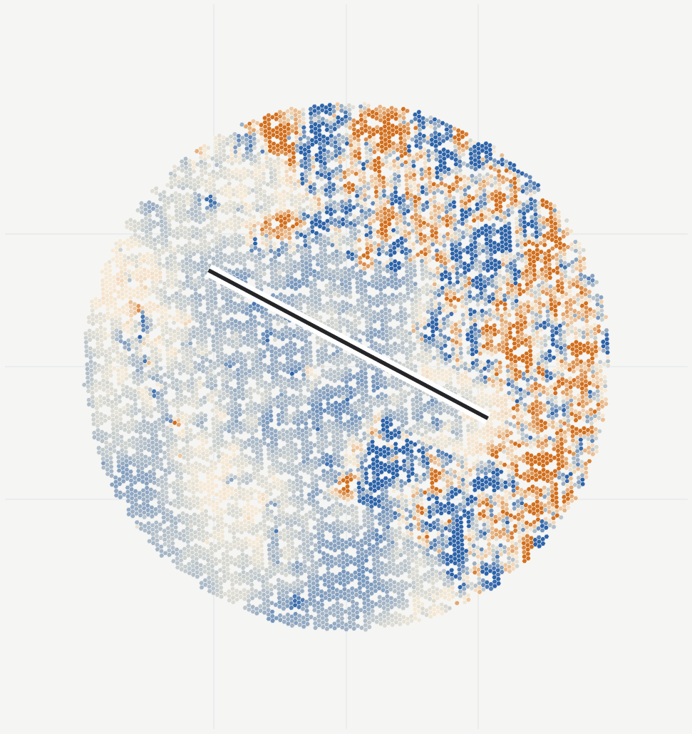
Maps, measurements and comparisons for each agreed cell, cap or closure milestone.
When it helps
Cell progression, interim or final cover, cap construction, closure certification, drainage review, or aftercare.
- Dated site map and model
- Receive a georeferenced orthophoto, surface model and 3D view for each agreed capture.
- Cell, cap and drainage comparisons
- Compare measured geometry with designs and previous surveys.
- Change record
- Separate visible changes from inferred conditions and planned work.
- Closure and aftercare files
- Keep the report, source imagery and open model files for later review.
Delivery
Start with your site imagery.
We process and review the data for you. You do not need to operate the software.
Share the imagery or capture plan
Tell us what you need to measure, what imagery exists and what survey control is available.
Agree the outputs and cost
We assess the capture, agree accuracy checks, file formats and delivery timing, then quote the work.
Review the results together
Receive the maps, measurements and source images. Repeat captures or delivery under your brand can be included.
Questions this review helps answer
What was built or changed, how does it compare with design, and where is capture or field confirmation still insufficient?
What needs an on-site check?
Imagery records visible surfaces and geometry. Compaction, leakage and material properties require field tests.