Omniterra Atlas · Application 07

Map built state, site change, and plan variance.

Compare repeat captures with BIM, CAD, schedule, and prior site states to surface progress and as-built exceptions.

Starts with
Photos, video, drone capture, plans, control, and prior site states.
You receive
A repeat capture and reconciliation mission for one project area, milestone, and review question.
Product output / application view
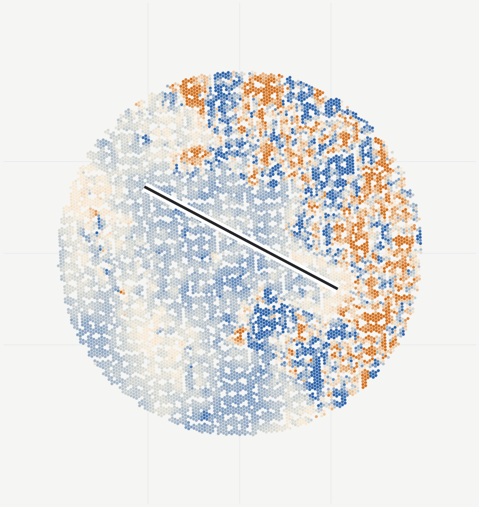
Atlas plan-versus-actual site evidence for construction progress.
Inspect metric, visual, semantic, and temporal layers together, with direct links back to the capture and prior site states.
01 / Operational outcome
What improves

Give project teams one observed state for progress, plan variance, and handover.

The workflow is organized around one operating question: What work is visibly present, what geometry can be measured, what differs from plan, and what remains unobserved?
Benefit 01

Gives project meetings a shared observed state

Output used

Accepted metric and visual world commit

Benefit 02

Surfaces exceptions before they become handover surprises

Output used

Plan-vs-actual and prior-state change layers

Benefit 03

Keeps every progress claim linked to source evidence

Output used

Management brief, technical evidence, browser review, and open exports

02 / Operational context
Who uses it and when

Start with the operating team, trigger, and decision.

The technical scope starts from the operating moment, available observations, site geometry, time window, and the result the team needs to use.
Teams
Owners, EPCs, project controls, construction managers, lenders, and design teams.
Primary users
Project director, controls lead, construction manager, owner’s engineer, or lender monitor.
When it applies
A progress meeting, payment cycle, schedule risk, milestone, handover, or disagreement between reports and visible reality.
Decision to support
What work is visibly present, what geometry can be measured, what differs from plan, and what remains unobserved?
03 / Evidence and deliverables
Configured workflow

A repeat capture and reconciliation mission for one project area, milestone, and review question.

The workflow connects named inputs, spatial processing, technical review, and reusable outputs for a defined site state or review period.
Atlas stores the capture, spatial products, findings, and comparison state as one versioned site record.
Output set

What the team receives to support the decision.

01

Accepted metric and visual world commit

Generated from the registered capture and stored in the current Atlas site version.

02

Plan-vs-actual and prior-state change layers

Linked to source imagery, geometry, control, and review state.

03

Source-linked progress and exception findings

Structured for browser inspection, comparison, and repeat processing.

04

Management brief, technical evidence, browser review, and open exports

Exported in open spatial formats for GIS, engineering, and operations systems.

04 / Related use cases

Bring the decision and the site evidence.
Define the record that can support it.

A repeat capture and reconciliation mission for one project area, milestone, and review question.

Send the decision date, site or capture, review period, and the assets or work package under review. We will reply with the required inputs, processing scope, output formats, and next step.

Email Us

Performance cookies.