Construction sites
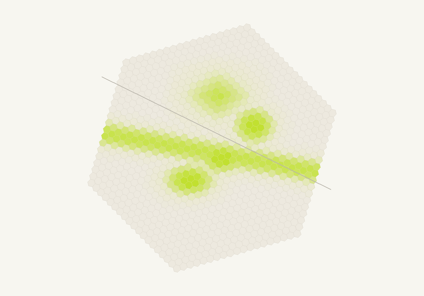
Compare changing ground surfaces with planned work zones across a large site. Review when and where changes appear in the satellite record, then use the mapped areas to focus the next site visit.
See where work areas change. Follow the activity and decide where to check next.
We analyse satellite radar history to map surface changes across your sites. Start with a scoped review of one site, then agree repeat analysis where it is useful.
What you receive
Review activity across one site or several locations. Compare the changed footprint with your work zones and dates to decide where to check next.
We run a scoped satellite review and deliver the map, observation history and locations for follow-up.
Applications
Compare changing ground surfaces with planned work zones across a large site. Review when and where changes appear in the satellite record, then use the mapped areas to focus the next site visit.
Follow surface changes along long work corridors between field visits. Compare activity around work zones, compounds and access routes with the construction plan to identify sections that need a closer check.
Review changes around working faces, haul routes and material-handling areas across the quarry. Compare repeat observations to see where disturbed ground is expanding or persisting, then direct field checks to those areas.
Follow surface changes around active cells, cover works and restoration areas between visits. Keep a dated record of the affected areas to help plan inspections and compare observations with reported site work.
Capabilities
We compare Sentinel-1 radar intensity with the site's history. This shows changes in surface response, not ground displacement or excavated volume.
Radar works through clouds. Viewing geometry, moisture and observation coverage remain part of the review.
For ground movement, see Pulse. For quantities from drone surveys, see Atlas.
Delivery
Tell us where the work is and what activity you want to understand.
Send a boundary, dates and any planned work zones.
We check satellite coverage and agree outputs, timing and cost.
Use the mapped changes to plan site checks. Add repeat analysis around the work schedule if useful.
No. It maps changed surface footprints, not excavation depth or cut/fill. Atlas can measure quantities from suitable drone surveys.
No. Rainfall, soil moisture and other surface changes can affect radar response. We review the observation history and site context before interpreting a change.
We agree the review schedule after checking coverage. New findings depend on suitable satellite observations; every update shows its observation dates.
Yes. We check the available archive for your dates and area, then scope a one-off review or repeat analysis.
Performance cookies.This website uses cookies to measure site performance and marketing campaigns.